
Menlo Park ZIP Code Coverage
Menlo Park’s postal map has one polygon ZIP plus related entries. The ZIP code directory starts with the delivery name, then separates incorporated neighborhoods from places sharing a mail label or historical orbit. 94025 is the only polygon ZIP shown intersecting incorporated Menlo Park. 94026 is PO-box. 94027 points to Atherton, 94028 to Portola Valley and nearby unincorporated territory. These rows choose a record key; no ZIP proves city jurisdiction or occupancy.
| ZIP | Areas Covered | Post Office | Notes |
|---|---|---|---|
| 94025 | Downtown, Belle Haven, Sharon Heights, The Willows, Allied Arts/Stanford Park, Bayfront, and adjoining unincorporated postal territory | MENLO PARK | Only polygon ZIP shown intersecting incorporated Menlo Park; older GIS population fields |
| 94026 | PO boxes | MENLO PARK | Non-polygon PO-box ZIP; confirm live with USPS |
| 94027 | Atherton | ATHERTON | Separate municipality; regional directory context |
| 94028 | Portola Valley and nearby unincorporated territory | PORTOLA VALLEY | Not Menlo Park; wider regional context |
San Mateo County’s boundary service puts ZIP polygons beside city limits, planning areas, county pockets, and districts. A postal name is a delivery label; parcel custody follows land jurisdiction.
Menlo Park 94025 ZIP Overlap
94025 includes downtown, Belle Haven, Sharon Heights, The Willows, Allied Arts/Stanford Park, and Bayfront, plus unincorporated postal territory. The label can point inside Menlo Park or to county land. West Menlo Park, Menlo Oaks, and North Fair Oaks appear in city permit guidance as examples outside city jurisdiction. Compare the address with GIS or the county Property Information Portal before choosing a records office.
Application instructions say to check GIS and County Planning when no city parcel appears. The ZIP narrows a place; the boundary chooses the permit office.
Menlo Park 94026 PO-Box ZIP
94026 is a Menlo Park PO-box ZIP, not a polygon for street parcels. It can mark a mailing destination while the property lies elsewhere. A ZIP code directory should keep that plain: a PO box supplies no parcel shape, city-limit test, or user list.
Use USPS live verification for the current station name and address. No historical 94025/94026 split or realignment was verified, so a past directory or envelope is mailing geography, not proof of a formal boundary event.
Menlo Park ZIP Neighbors: 94027 and 94028
94027 is Atherton, with ATHERTON as the postal name. It is a separate municipality near Menlo Park. 94028 is Portola Valley and nearby unincorporated territory, with PORTOLA VALLEY as the postal name; it is not Menlo Park. Both matter when an old address or regional directory uses a broader Peninsula label.
Use the city field, parcel jurisdiction, and legal description to test a match. A neighboring ZIP may lead a historical search, while the current custodian may be another city or county office. That is geography, not a resident count.
Menlo Park ZIP Delivery and GIS
USPS and GIS answer different questions. The USPS ZIP Code Lookup checks an address, city, and ZIP for delivery. It does not decide whether land lies inside Menlo Park. The county Property Information Portal and Menlo Park GIS Map Viewer compare parcel layers with city lines, county pockets, planning areas, and districts.
The USPS screen starts a ZIP code directory search. Once delivery is confirmed, switch to GIS or APN records before treating the place as incorporated Menlo Park.
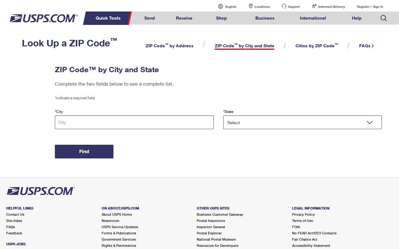
The delivery lookup validates a mailing label. It cannot replace parcel and jurisdiction checks for the Menlo Park or San Mateo County custodian.
Menlo Park ZIP Polygon Queries
The official ZIP layer exposes ZIP, PO_NAME, STATE, SUMBLKPOP, POP2005, POP05_SQMI, and SQMI. It supports attribute and spatial queries, statistics, pagination, and distance queries. An attribute query isolates a ZIP; a spatial query compares its shape with parcels or city limits.
GIS is strongest for place and parcel context. The public Menlo Park layer exposes APN, situs, within-city status, legal description, map book and lot fields, districts, and coordinates, but not owner or mailing fields. A ZIP polygon guides a search without becoming an owner directory.
Menlo Park ZIP Population Vintage
Population numbers in a ZIP layer need a vintage label. The researched 94025 row reports older summed-block population of 40,472 and 11.99 square miles. Older figures for 94027 are 7,307 and 5.24 square miles; 94028 shows 6,653 and 13.85 square miles. These are not a 2026 census estimate or current Menlo Park count.
94026 has no comparable polygon statistics as a PO-box ZIP. For genealogy or civic research, these figures describe the map’s source era, not today’s ZIP population.
Menlo Park ZIP Portals
These portals do not share one ZIP mode. My Election Info self-verifies with a house number, five-digit ZIP, and birth date. GIS selects polygons and parcels. ABC reports up to ten cities or ZIPs; USPS checks delivery. Accela has street and parcel paths, but no ZIP-wide filter was established.
| Portal | ZIP behavior | What it does not prove |
|---|---|---|
| My Election Info | Five-digit ZIP with house number and birth date for self-lookup | It is not a ZIP-wide voter list |
| County GIS and Menlo Park GIS | ZIP polygon and related parcels or features through map queries | A polygon is not a resident roster |
| ABC license lookup | Reports by up to ten cities or ZIPs | A license record is not proof of current residence |
| Menlo Park Accela | Documented address and parcel search paths | No ZIP-wide filter was established |
| USPS ZIP Lookup | Address, city, and ZIP delivery verification | It does not establish city limits |
My Election Info keeps the self-check narrow:
| Field | Type | Required | Notes |
|---|---|---|---|
| Your House Number Only | text | yes | House number, no street name |
| Your Zip Code | text | yes | Five digits |
| Your Birth Date | three selects | yes | Month, day, year |
Use this Menlo Park ZIP code sequence:
- Check the address, city, and ZIP with USPS.
- Compare the ZIP shape with GIS city limits and parcels; note the APN and situs.
- Use My Election Info for self-checks, ABC for license reports, and Accela for addresses.
- If no result appears, contact the counter or submit a narrow CPRA request.
After a ZIP narrows the street, use the Menlo Park street directory for address work.
The San Mateo County My Election Info page shows the self-lookup route for an identified voter.
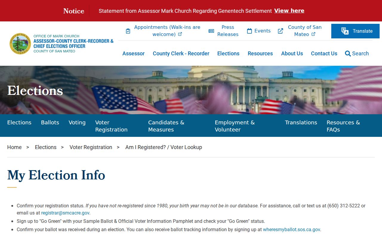
Its ZIP field narrows a self-check, not a public resident search. A lawful request for broader voter data must meet California’s permitted-purpose rules.
A broader extract uses a separate state voter-file application: the requester states a permitted purpose, submits an original signature, ID copy, supporting documents, and payment by mail or hand delivery; it is not a casual ZIP search.
The Safe at Home governing-laws page shows why a postal key cannot be treated as a complete map of protected addresses.
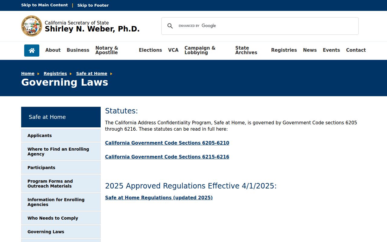
Safe at Home uses a substitute mailing address and mail forwarding for eligible participants. A ZIP result can miss a protected address by design.
Menlo Park Situs, Mailing ZIP, Legal Description
A ZIP match is not a parcel match. Situs is the physical property address. Mailing is the destination for notices. A legal description is the deed or plat identity. Menlo Park permits and GIS use situs; assessment uses APN and mailing; the recorder uses parties, instruments, and legal descriptions. The parcel layer lacks owner fields, so a ZIP or matching mailing and situs cannot prove an owner.
When a ZIP points to a parcel, use the county assessor maps portal by address or APN, then review map book/page or recorded-map material. For ownership, use ACRE’s lawful roll or counter route and the deed index for grantee identity. The chain is address to APN to legal description, not ZIP to resident.
- ZIP vs ZIP+4
- A five-digit ZIP marks a general delivery area; ZIP+4 adds four digits for a narrower delivery segment, not a new city or legal boundary.
- PO-box ZIP
- A postal ZIP used for PO boxes rather than ordinary street delivery; 94026 is the local example.
- Unique ZIP
- A ZIP assigned to one high-volume address or institution, rather than a broad street area.
- Carrier route
- A USPS delivery route within a ZIP, used for sorting and delivery rather than municipal jurisdiction.
Menlo Park ZIP History
Historical directory geography can make a ZIP look older or wider than the modern city. The National Archives 1929-1931 Palo Alto directory listing includes Menlo Park. A 1922 regional title grouped San Carlos, Redwood City, Menlo Park, Atherton, Woodside, and Portola Valley. A name under Palo Alto or a Peninsula heading may be a real Menlo Park lead even when the title does not say Menlo Park.
Boundary changes add another caution. Atherton incorporated in 1923, Menlo Park in 1927, and Belle Haven joined Menlo Park in 1961. Headings and custodians can shift while a household stays put. Pair the old place title with the address, date, and parcel clues before carrying it into a current ZIP code directory.
Menlo Park Address Assignment and ZIP Continuity
Menlo Park address assignment can explain why a ZIP and an old record use different street numbers. Under Municipal Code Chapter 12.28, the Building Official approves changes. The owner emails a signed Address Change Request Form and site plan to the Permit Team. After a complete submission, the fee is $129. The Building Official checks the street sequence, then routes approval to Police and the Menlo Park Fire Protection District.
ADUs keep the primary address with sequential Unit A, B, or C designations. New subdivisions and multifamily projects have proposed addresses reviewed during entitlement. The approved address-change file bridges old and new numbers in permits, directories, and deeds; request it by parcel or address when numbers break. City address guidance points users toward GIS and County Planning when no city parcel appears.
Note: An approved address-change file can bridge two numbers when a ZIP search and a deed use different labels.
Menlo Park ZIP Research Gaps
Some questions remain open. No official historical 94025/94026 split or realignment history was verified. Current USPS station names and addresses need live confirmation. Research did not establish a complete ZIP-wide resident list or an Accela ZIP filter. Those gaps should remain visible, not filled with a guess.
Use the matching channel: USPS for delivery; GIS for jurisdiction and parcels; My Election Info only for an identified voter; ABC for license reports; a counter or narrow CPRA request for an existing record. CPRA cannot create a resident list or override voter, court, vital, or Safe at Home limits.
The San Mateo County voter-registration FAQs clarify what is available when another person’s voter data is requested.
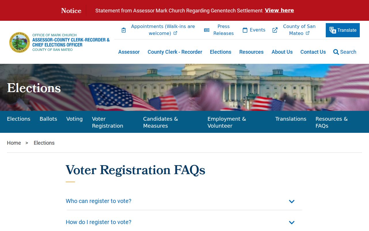
The FAQ confirms restricted voter data is not an ordinary ZIP list.